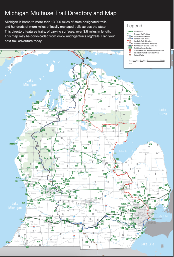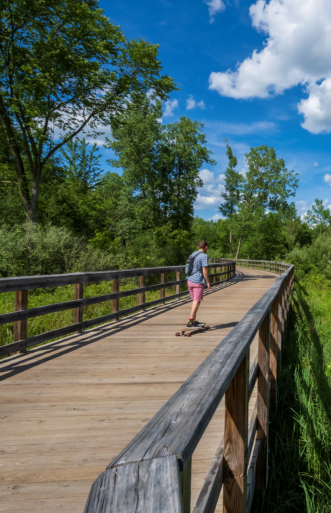
Michigan’s multi-use trails stretch more than 2,100 miles across the state. Trail surfaces are indicated by icons for paved trails, crushed stone, unimproved, boardwalk, or road sections, as represented in the trail chart. State parks are included as additional places to bike, hike, and camp. Listings include icons when trails are shared with horses, snowmobiles, and/or ORVs.
The Michigan Multi-Use Trails Directory & Map is a general overview of the trail system across the state for trails 3.5 miles and longer and is updated biennially. Please refer to the websites listed for each trail for additional details (all websites are linked from the downloadable map, just over the bitly.com address with your cursor, then click and open the corresponding website).
Download Map

The Michigan Great Lakes Water Trails website had its genesis in a visionary group of volunteers from all over the state – people who work with coastal communities and love the Great Lakes. They aim to promote coastal public access by linking regional water trails to form a statewide water trail system along every mile of the Great Lakes shoreline.